Mweelrea by the Ramp
Mweelrea via the Ramp
Distance: 13–14 km | Elevation Gain: ~950m | Duration: 6–7 hrs Grade: Strenuous – for experienced hikers
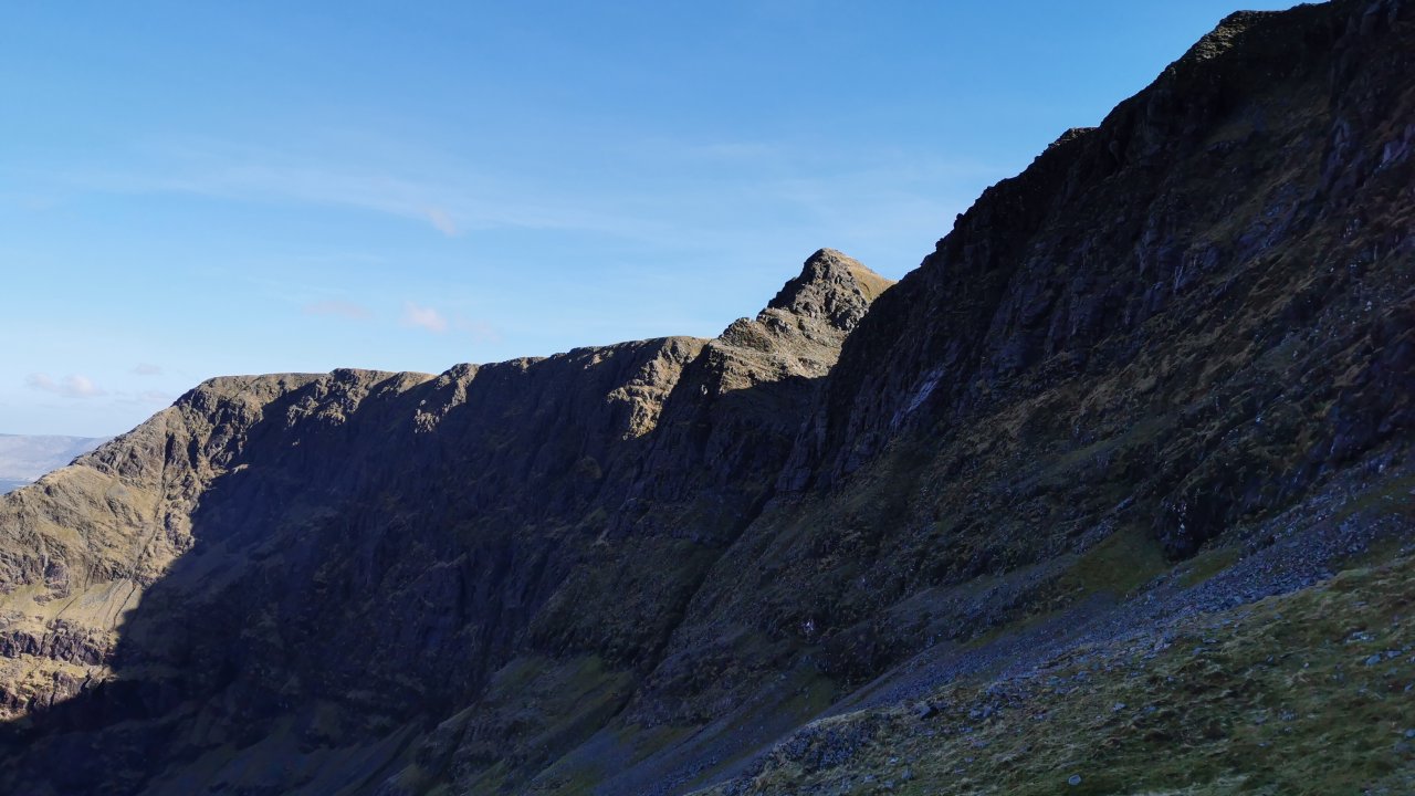
Beginning at the solemnly beautiful Doo Lough Valley, site of the tragic 1849 famine walk, this challenging hike leads into the dramatic heart of Lugmore Corrie — a vast glacial bowl where cliffs rise sharply all round and silence settles deep. The approach winds through bog and boulder before reaching the grassy Ramp, a striking ledge path that soon narrows into steep, loose scree underfoot, with cliffs towering above and dropping away below. From here, the trail narrows before leading to the saddle between Benlugmore and Ben Bury. Heading West to the simmit of Ben Bury before veering to the south and west and on to Mweelrea’s summit (814m), with expansive views across Killary Harbour, the Atlantic, and the inland ranges.
This route has some exposed sections so a good level of hiking experience and a good head for heights is needed.
Meeting at north end of Doo Lough link below,
suggested start time for winter hikes is 9:00am or 10:00am for summer hikes but this is flexible, give us a call to arrange a time.
Hiking boots,
Suitable hiking clothing (no jeans or runners),
Waterproofs,
Warm layers hat and gloves,
Drink, snacks and rucksack/bag,
Walking poles (optional but recommended)
Fully qualified and insured Mountain leader led hike, Rec3 first aid qualified, craic and laughs guaranteed - views not guaranteed!
Cancelled by Tonnta Adventure before event for any reason including due to weather - full refund/reschedule or credit offered.
Customer cancellations are non-refundable, refunds may be considered in expceptional circumstances, please apply by email.